
- WHO CAN APPLY?
-
This course is:
- suitable for students interested in both technical issues and natural sciences,
- candidates for registration in this MSc course must first hold at least Bachelor of Science degree (or relevant).
- WHAT DOES THE COURSE PROVIDE TO YOU?
-
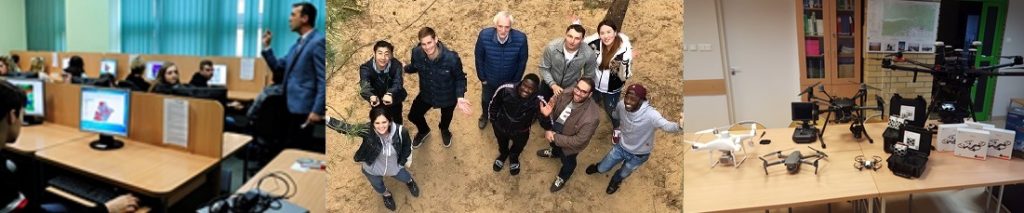
- special attention paid to implementation of modern remote sensing and geoinformation techniques, as well as spatial planning in order to promote sustainable development of urban and rural areas,
- competences in organizing and managing optical, airborne and UAV campaigns and processing of imaging spectroscopy data in order to map and monitor natural ecosystems, artificial infrastructures as well as natural hazards,
- the knowledge about databases contain both spatial and non-spatial data, managing the data, handling big databases and query optimization techniques will be provided.
- WHAT ARE THE CAREER OPTIONS AFTER THE COURSE ?
-
After successful completion of the course, participants can find better job prospects in:
- rapidly growing Geoinformatics industry,
- Disaster Management agencies,
- Government and private sectors in European and global market.
- HOW IS THE COURSE?
-
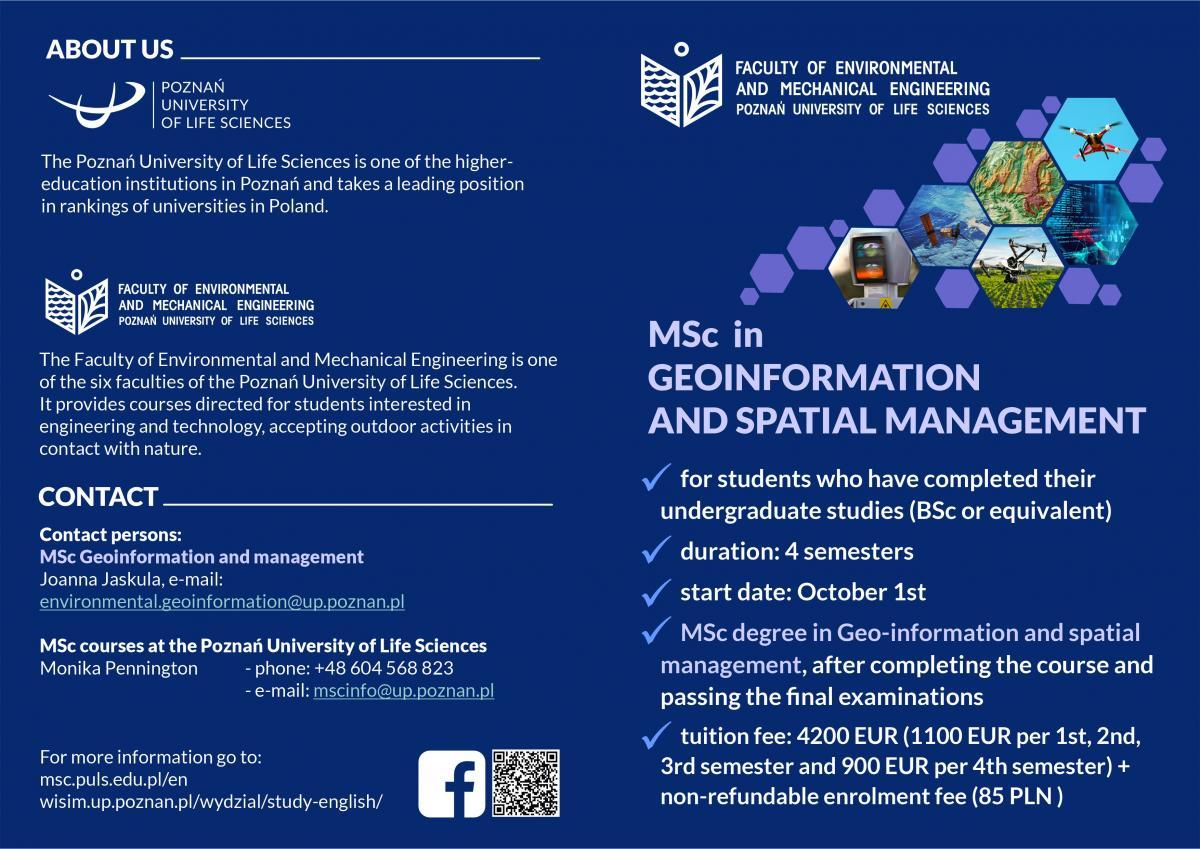
The Geoinformation and Spatial Management studies lasts 4 semesters (2 years). The course comprises more than 766 hours of lectures, exercises, seminars and field trips. The study program includes issues related to the theoretical and practical aspects.
Tuition fees: 4200 EUR (1100 EUR per 1st, 2nd, 3rd semester and 900 EUR per 4th semester) + enrollment fee (65 EUR for non-EU candidates and 85 PLN for EU candidates and NAWA scholarship holders)
Accommodation and living expenses: covered by student
- ABOUT THE MODULES
-
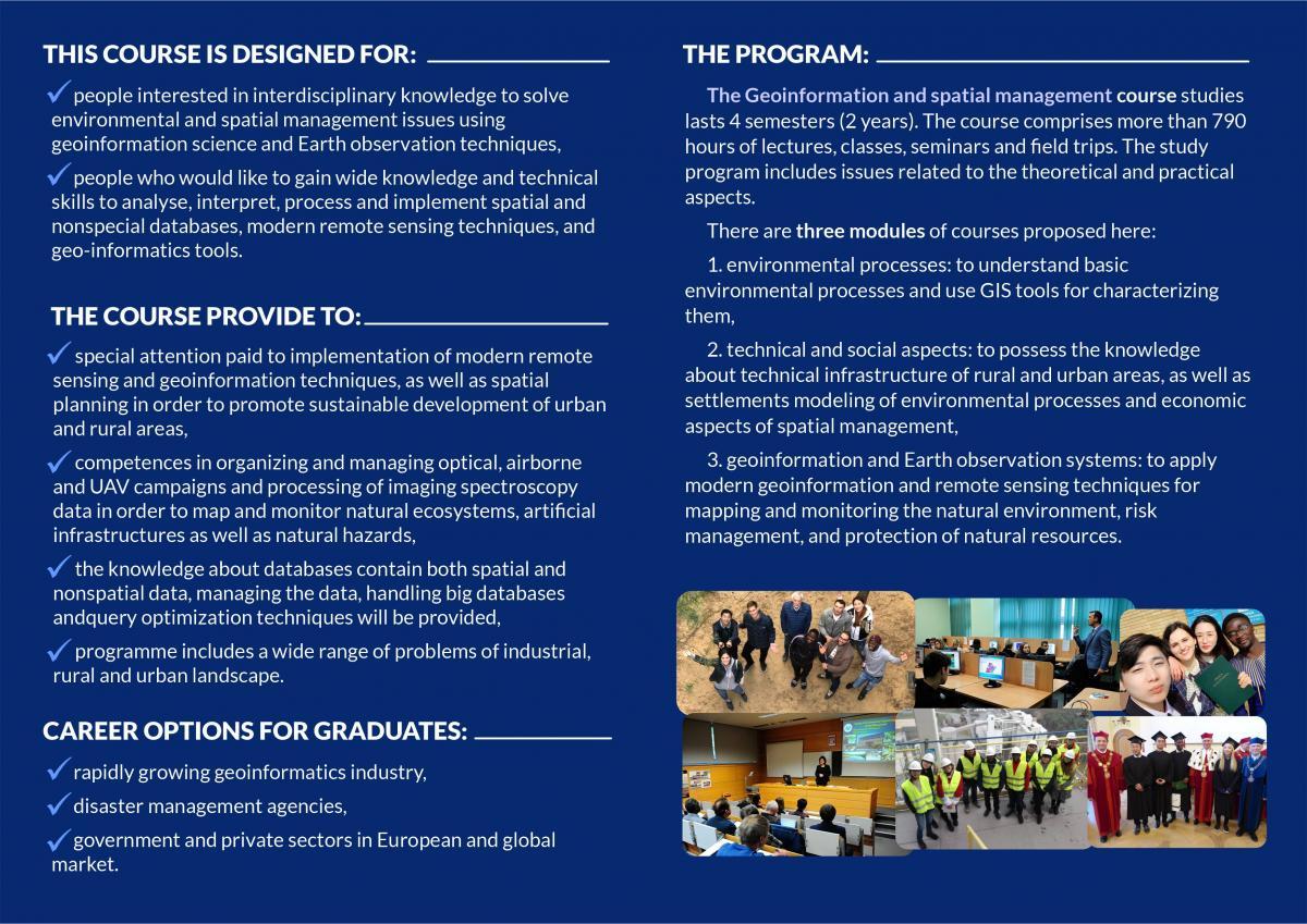
There are three modules of courses proposed here:
1) environmental processes: to understand basic environmental processes and use GIS tools for characterizing them,
2) technical and social aspects: to possess the knowledge about technical infrastructure of rural and urban areas and settlements modeling of environmental processes and economic aspects of spatial management,
3) geoinformation and Earth observation systems: to apply modern geoinformation and remote sensing techniques for mapping and monitoring the natural environment, risk management, and protection of natural resources.
- DETAILED PROGRAM
| Attachment | |
|---|---|
|
|